Conference
Mappings as Joint Spatial Display
In English
Conference Room 1, Hirschfeld Bar
Partner event

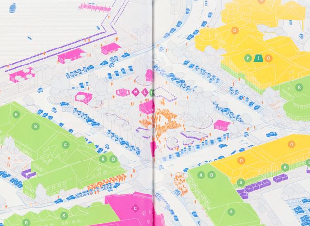
How can mapping help us understanding current spatial production? How can geography and the social sciences do graphic research? At the interface of sociology, architecture, urban design, and geography, the conference will discuss methods of mapping as tools for the visual articulation of heterogeneous data. In a workshop with Joost Grootens, Dagmar Pelger, and Philippe Rekacewicz, the spatial interconnections of HKW will be examined at different scales—from the local all the way to the global level.
9 am–5 pm
Workshop
7 pm
Introduction of the series “Refiguring Spaces” at HKW
With Bernd Scherer, Martina Löw, Stefanie Bürkle
7.30 pm
Keynote: “More Matter with Less Art”
By Joost Grootens (graphic designer, Studio Joost Grootens, Amsterdam)
In this digital age of a super-abundance of information, there is a need of formats that can clearly present enormous quantities of data and subsequently make it manageable. Atlases and maps are good examples of such formats. The work of Studio Joost Grootens explores their meaning and application today. The keynote speech by Grootens will address the editorial and design processes in cartographic production as well as research on new map making practices.
Detailed program of the conference: www.cud.tu-berlin.de
The event is the prelude to the series Refiguring Spaces at HKW. Workshops and lectures on Nov 29 take place at HKW, the conference program on Nov 30 takes place at Technische Universität (Sonderforschungsbereich 1265, BH - N Building, 2nd Floor, Room 230 Ernst-Reuter-Platz 1, 10587 Berlin).
Refiguring Spaces is a series at Haus der Kulturen der Welt by the Collaborative Research Centre on the Re-Figuration of Spaces at the TU Berlin.